Drillhole Data Analysis & Geological Mapping
West Red Lake Project · NI 43-101 technical report dataset
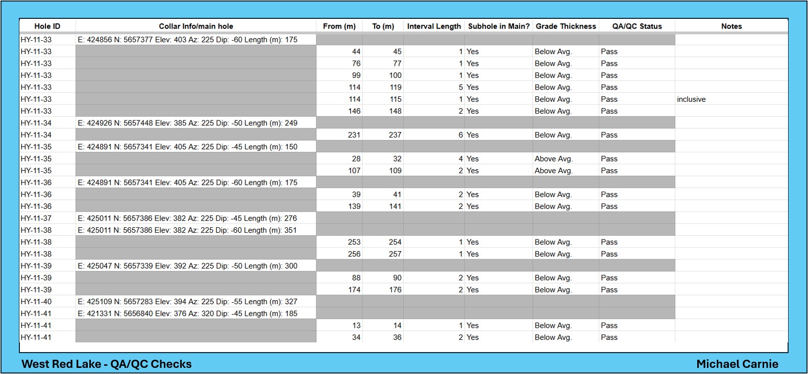
- Organized and processed drillhole data in spreadsheets, running automated QA/QC checks with formulas (VLOOKUP, IF, rounding) to validate intervals, collar IDs and overall data consistency.
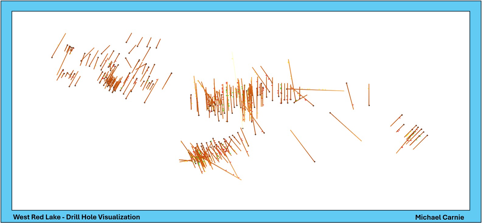
- Exported the cleaned data into QGIS to visualize the drilling spatially, converting CSV datasets into mapped drillhole traces.
- Applied elevation-based line gradients and rule-based grade-thickness classifications, producing a final map of the main drill holes and subholes that highlights subholes with a high concentration of gold.
- Wrote a technical report covering the methodology, data processing, QA/QC workflow and geological data visualization.